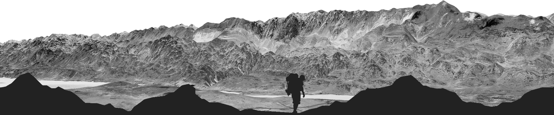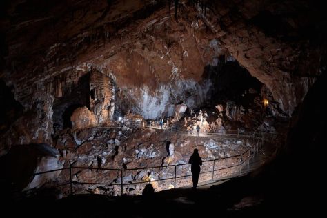


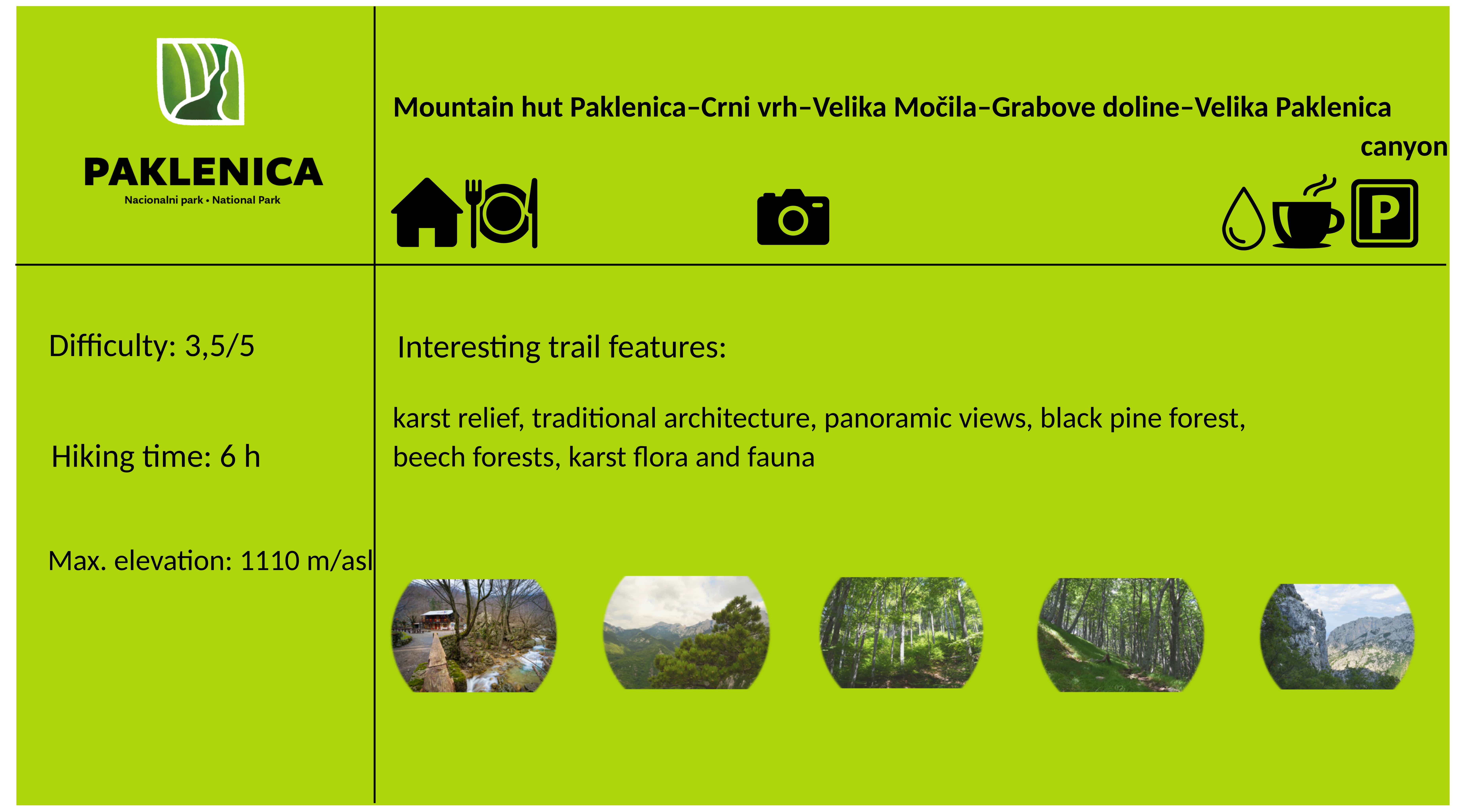
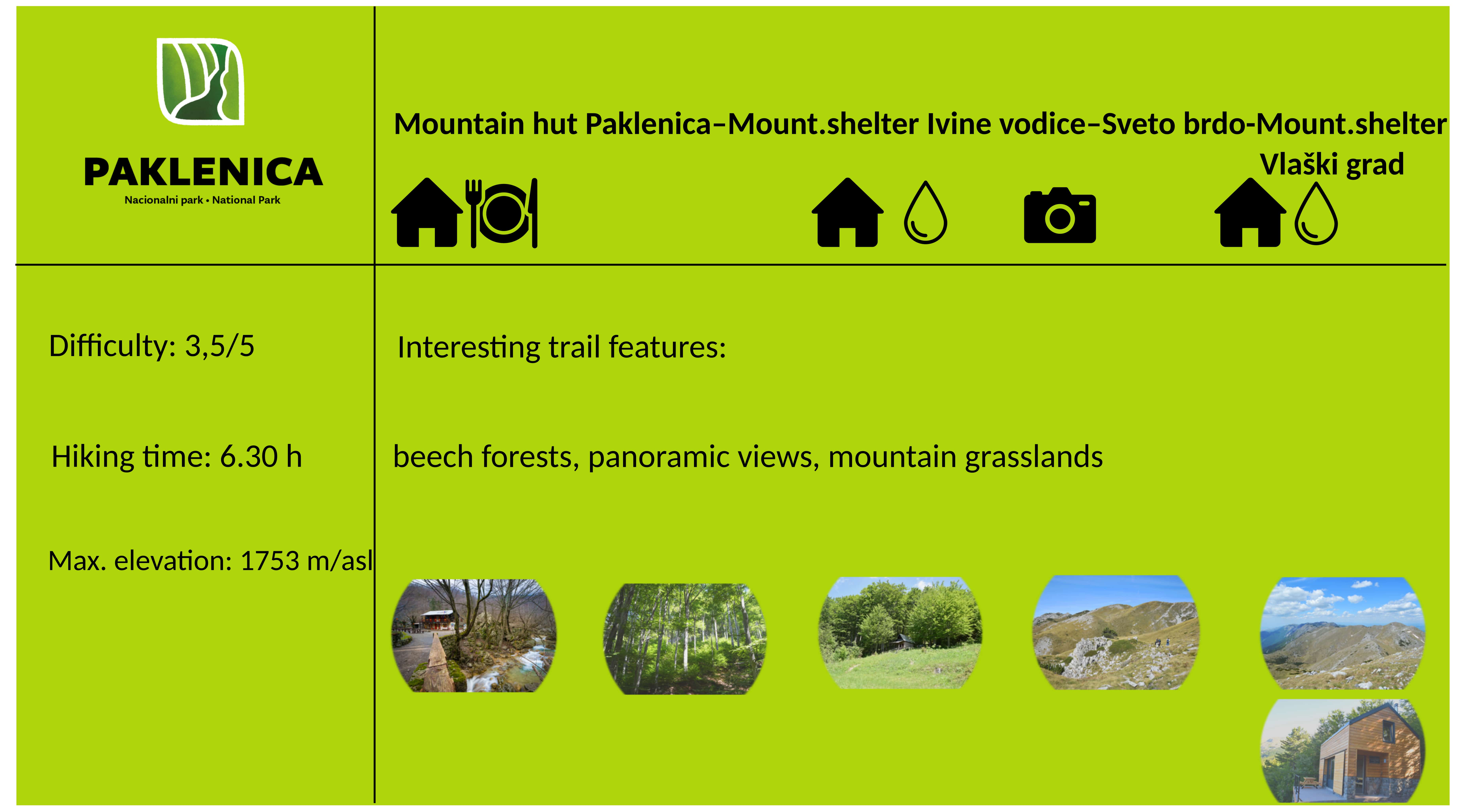
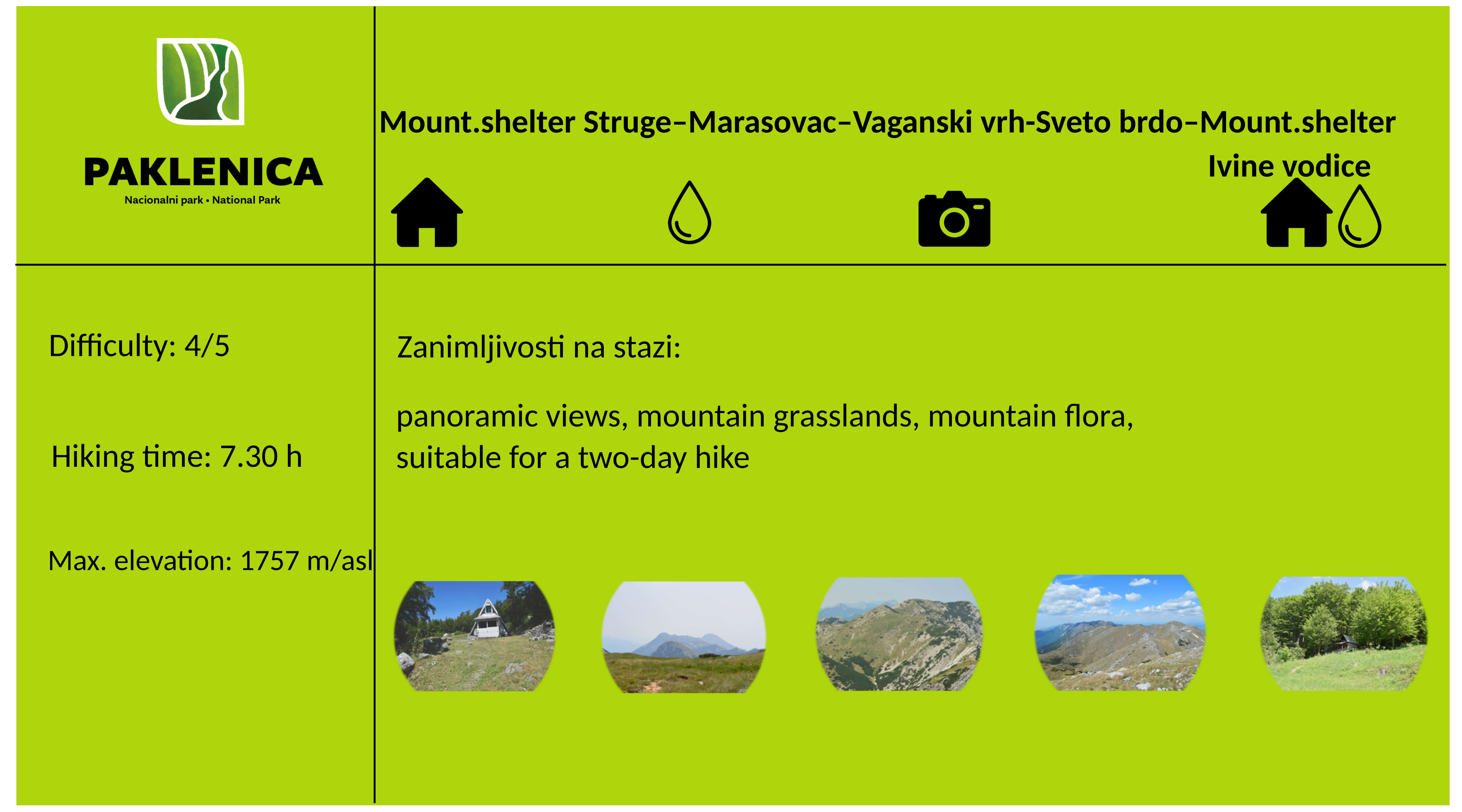
Hiking is the only way to truly get to know Paklenica. The Park area contains 150-200 km of trails and paths, from those characterized as tourist trails - leading from Velika Paklenica canyon to Manita peć cave, Lugarnica foresters house and Paklenica Mountain hut, to those characterized as hiking trails - leading to the highest peaks of the Velebit Mountain.
The trails in the Park are marked with red and white signs while trail crossings are marked with direction boards.
Please remember, you should consider the time necessary to return from the route if following the proposed hiking trails.
While planning a route and while hiking, where possible, we recommend you to try out the Interactive hiking map of Croatia (developed by Croatian Mountaineering Federation) where you can download .gpx trace of every marked hiking trail: Interactive Hiking Map of Croatia
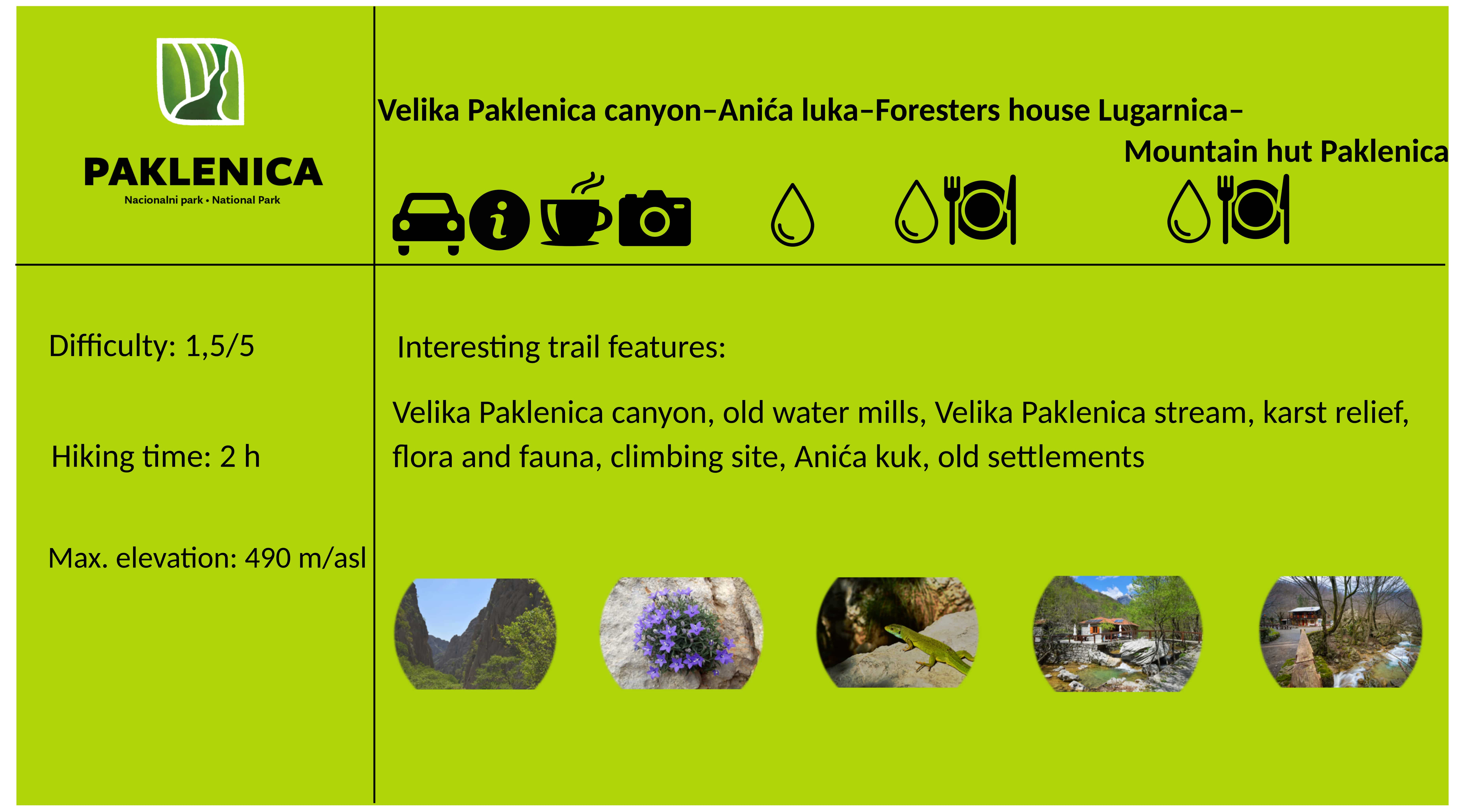
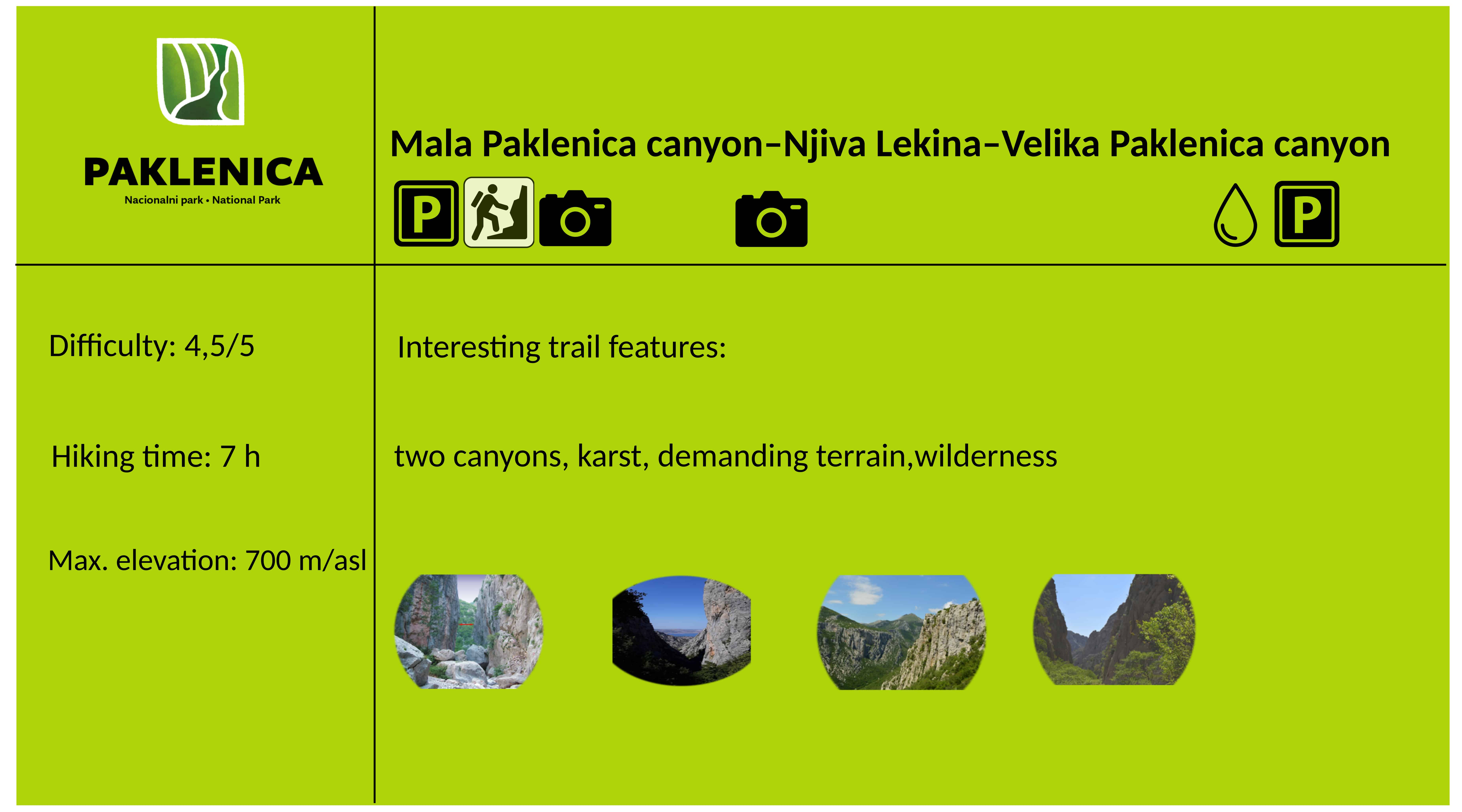
PROPOSED HIKING TRAILS IN PAKLENICA NATIONAL PARK


We recommend the NP Paklenica Tourist and Trekking Map (published by Croatian Mountain Rescue Service) for hiking in the Paklenica National Park.