


The area of Paklenica National Park has an exceptional diversity of geomorphological forms.
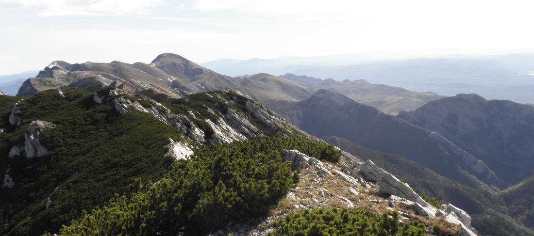 The view to the east toward Sveto brdo
Some of the most attractive and most valuable parts of the Velebit Mountain are surely the impressive canyons of Velika Paklenica and Mala Paklenica.
Velika Paklenica Canyon is 14 km long and 500-800 m wide. In its narrowest part around the Underground tunnels, the Canyon is only 50 m wide. Vertical cliffs rise above both sides of the Canyon up to a height of over 700 m. The most attractive part is the area around the steep drop of the stream downstream from Anića luka, where steep cliffs rise directly above the stream, forming the narrowest part of the Canyon between Anića luka and the parking lot.
Mala Paklenica Canyon is of lesser dimension, and the torrent running through it is much less powerful. It is 12 km long and 400-500 wide. In its narrowest part, it is only 10 m wide, while the surrounding cliffs rise up to a height of 650 m. The pass between the Velika Paklenica and Mala Paklenica Canyons is formed by a very inaccessible karst area comprising rocks and cliffs.
The central part of the Park is distinctive for the relief complex of Borovnik and Crni vrh, with the valleys of Mala Močila and Velika Močila nearby. In terms of relief, Velika Močila is a very interesting bowl-shaped valley at an altitude 850 m asl, surrounded by Crni vrh (1 110 m a.s.l.), Škiljina kosa (1 015 m a.s.l.) and Zeleni brig (842 m a.s.l), while Borovnik, named after the Black Pine forest, stretches along the south edge.
The east part of the Park is very differentiated geomorphologically, inaccessible and wild. Further to the east, this zone of wilderness transforms into an area of milder forms around Malo Libinje and Veliko Libinje, karstic plateaus with numerous pits.
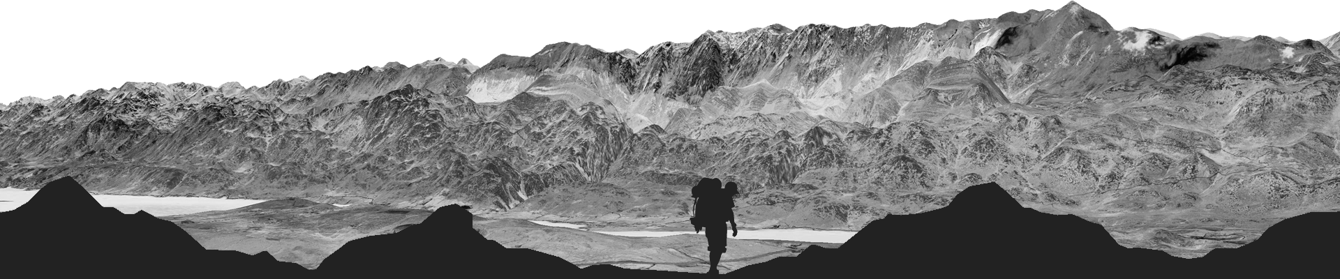
The highest area of Paklenica National Park is the narrow ridge of the Velebit Mountain, 1 to 3 km wide, and includes Vaganski vrh (1757 m a.s.l.) - the highest peak of the Velebit Mountain.
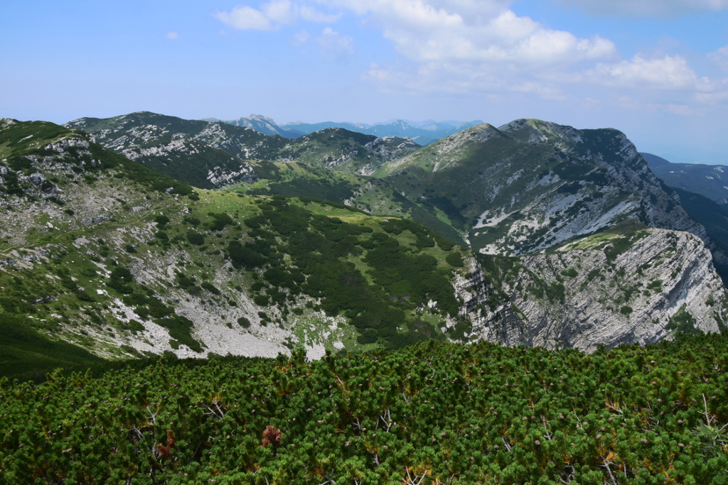 The view from the highest peak of the Velebit Mountain-Vaganski vrh (1757 m a.s.l.)
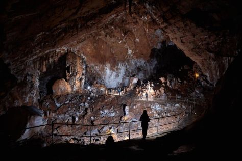
The stunning geological features of the National Park are visible in the typical karst around Bojinac, Vidakov kuk and the plateau between both Canyons. There is an abundance of karst relief forms here, such as cracks, groves, rocky areas, pits, faults and caves, formed by intensive action of water, as well as high-temperature differences in the respective seasons.
Rocky areas with cracks and grooves are particularly well developed around Bojinac, where the karstic forms were created by the effect of glaciation, which is visible in the form of numerous morainic deposits in the surrounding area.